Bare Mountain Trail #1037
Try this route up to a former fire lookout for big views of the surrounding landscape. If you have extra time, old mines, rushing streams, mining machinery and plane wrecks can all be found nearby.
Total Distance: 8.2 miles
Total Ascent: 3200ft
Highest Point: 5353ft
Total Ascent: 3200ft
Highest Point: 5353ft
To get there, take I-90 to exit #31, taking a left into North Bend. After the outlet malls, take a right on North Bend Way and an almost immediate left onto Ballarat Street. After four miles the road splits, veer left onto the North Fork County Road (Forest Road #57). Continue a little over 18 miles to a junction where FR 57 turns left across the river. At the next junction, follow FR 57 to the right for another three miles to the trailhead. View Google Directions >>
The trail begins mildly, traversing a number of small creekbeds, following Bear Creek for a half-mile before crossing it. Fording Bear Creek can be tricky when the water is running high, and hikers should use caution during the spring and fall. During the summer, the crossing is easy and should not be an issue.
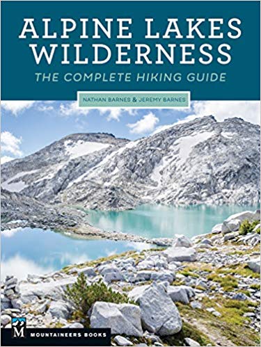
At two miles, veer left and continue along switchbacks up through the ferns, which slowly recede and give way to heather and endless patches of alpine blueberries. About a quarter-mile from the top, attain the ridgeline and take a quick peek down to Bench Lake and Paradise Lakes. Then press on to the rocky summit, still clinging to the last remnants of the lookout that stood there for 40 years.There's a lot more to Bare Mountain, and you can learn all about it in Alpine Lakes Wilderness: The Complete Hiking Guide. You'll find a trail map, route descriptions, history, and more for this and many other hikes throughout the State. Help support hikingwithmybrother.com and the work we do by picking up a copy!
At two miles, veer left and continue along switchbacks up through the ferns, which slowly recede and give way to heather and endless patches of alpine blueberries. About a quarter-mile from the top, attain the ridgeline and take a quick peek down to Bench Lake and Paradise Lakes. Then press on to the rocky summit, still clinging to the last remnants of the lookout that stood there for 40 years.There's a lot more to Bare Mountain, and you can learn all about it in Alpine Lakes Wilderness: The Complete Hiking Guide. You'll find a trail map, route descriptions, history, and more for this and many other hikes throughout the State. Help support hikingwithmybrother.com and the work we do by picking up a copy!
Nearby hikes
Similar Difficulty
Similar Features