Johnston Ridge Boundary Trail to Harry's Ridge
Trek along a ridgetop thick with wildflowers and views of Mt. St. Helens on your way up to Harry’s Ridge to survey Spirit Lake and a landscape still recovering from the eruption more than 40 years ago. At the same time, the hike offers a unique overview of a scarred and transformed landscape along well-graded trail that is approachable for most hikers.
Total Distance: 7.4 miles
Total Ascent: 1100ft (700ft in; 400ft out)
Highest Point: 4600ft
Total Ascent: 1100ft (700ft in; 400ft out)
Highest Point: 4600ft
Take Interstate 5 to Exit 49 for State Route 504 toward Castle Rock/Toutle. Turn east on SR 504 for 51.7 miles to the Johnson Ridge Observatory parking area and the end of the road. Privy available. View Google Directions >>
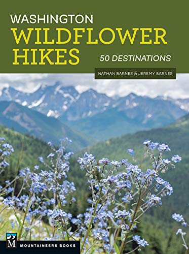
From the parking area, begin the path along the paved eruption trail that can be taking from the observatory or the east end of the parking area. The short loop has interpretive signs, views and plenty of company. At the east end of the loop find the Boundary Trail #1 trailhead leading off the pavement and onto a wide gravel grade leading out toward the edge of the ridge. There's a lot more to Johnston Ridge, and you can learn all about it in Washington Wildflower Hikes: 50 Destinations. You'll find a trail map, route descriptions, history, and more for this and many other hikes throughout the State. Help support hikingwithmybrother.com and the work we do by picking up a copy!
Nearby hikes
Similar Difficulty
Similar Features