Lennox Creek - Anderson Lake
It's a lot of work to reach lonely Anderson Lake, but if you want an alpine lake all to yourself, this is your hike.
Total Distance: 10.2 miles
Total Ascent: 3000ft (2500ft in; 500ft out)
Highest Point: 4600ft
Total Ascent: 3000ft (2500ft in; 500ft out)
Highest Point: 4600ft
Take I-90 to exit #31, taking a left into North Bend. After the outlet malls, take a right on North Bend Way and an almost immediate left onto Ballarat Street. After four miles the road splits, veer left onto the North Fork County Road (Forest Road #57). Continue a little over 18 miles to a junction where FR 57 turns left across the river. At the next junction, follow FR 57 to the right for another 3 miles to the Bare Mountain Trailhead. Continue past for few thousand feet to the washout and end of the road. View Google Directions >>
The hike begins at the current end of FR 57 where Bear Creek washed out the forest road years ago. Navigate your way across the water to regain the road bed. Follow the old forest road deeper into the encroaching trees for nearly two miles, crossing Lennox Creek to reach the unmarked Lennox Creek Trailhead. No signs mark the beginning of the Lennox Creek Trail #1001, but the transition from forest road to trail is clear.
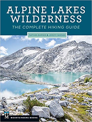
Years of virtual abandonment can make following the trail difficult at times, as the narrow path is often overgrown or obscured. Pay extra attention to the route as you switchback up the shoulders of Dog Mountain and cross a few rushing creeks as it can be easy to wander off the path. Elevation thins the undergrowth and you wills soon be working your way up to Anderson Pass. Cross over and soon find yourself in a talus field above Anderson Lake. There's a lot more to Lennox Creek, and you can learn all about it in Alpine Lakes Wilderness: The Complete Hiking Guide. You'll find a trail map, route descriptions, history, and more for this and many other hikes throughout the State. Help support hikingwithmybrother.com and the work we do by picking up a copy!
Years of virtual abandonment can make following the trail difficult at times, as the narrow path is often overgrown or obscured. Pay extra attention to the route as you switchback up the shoulders of Dog Mountain and cross a few rushing creeks as it can be easy to wander off the path. Elevation thins the undergrowth and you wills soon be working your way up to Anderson Pass. Cross over and soon find yourself in a talus field above Anderson Lake. There's a lot more to Lennox Creek, and you can learn all about it in Alpine Lakes Wilderness: The Complete Hiking Guide. You'll find a trail map, route descriptions, history, and more for this and many other hikes throughout the State. Help support hikingwithmybrother.com and the work we do by picking up a copy!
Nearby hikes
Similar Difficulty
Similar Features